
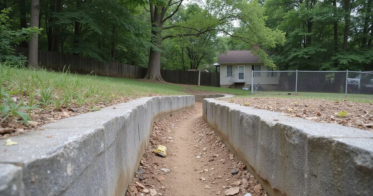
Why this page exists
Karst is the most misused word in Middle Tennessee foundation sales. It is real geology, it is genuinely relevant, and it is also routinely deployed to create urgency that the evidence does not support.
This guide explains what karst is, what the regional data can honestly tell you, and what else is going on underneath Nashville-area homes — because in the properties we actually measure, karst is rarely the whole story and frequently not the story at all.
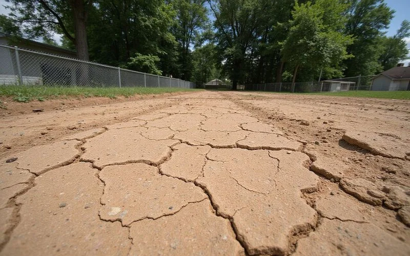
What karst is
Karst is landscape formed where soluble rock dissolves over geological time. In Middle Tennessee, that rock is limestone, and the Central Basin sits on a great deal of it.
Slightly acidic water moving through joints and bedding planes gradually widens them. Over very long periods, that produces the features associated with karst terrain: underground conduits and voids, springs, disappearing streams, and surface depressions.
Where a void develops beneath a soil cover and the soil cover eventually migrates or fails into it, a surface depression or collapse can result. The USGS documents these mechanisms, and they are the basis of any serious discussion about sinkholes.
None of that describes an individual property. It describes a landscape type.
What a public map can and cannot show
Public karst datasets map known and suspected features and classify terrain at a regional scale. They are valuable for research, planning, and context.
They cannot establish the condition of a specific foundation. A mapped feature near an address does not confirm anything beneath that address, and a mapped depression is not automatically a confirmed active sinkhole — the source’s own classifications make that distinction, which is worth reading before drawing conclusions from a dot on a map.
An unmapped area is equally uninformative in the other direction. Absence of a mapped feature may mean absence of surveying rather than absence of geology.
This is why we decline to build ZIP-level risk scores or rank neighbourhoods. Turning a regional dataset into an address-level risk product misrepresents what the data is.
The other mechanisms, which matter more often
Expansive clay. High-plasticity clay swells when it takes on water and shrinks when it dries. A shallow footing on that clay rides the seasonal cycle, and a basement wall backfilled with it takes increased lateral pressure through wet periods. In the homes we measure, this is one of the most frequent contributors — and one of the most frequently dismissed, because “it’s all limestone here” is an easier story.
Fill quality. Middle Tennessee has built enormously over the past twenty years, much of it on cut-and-fill lots. Fill that was not uniformly compacted consolidates unevenly, and the resulting settlement shows up within the first several years.
Variable depth to competent bearing material. Because the limestone surface is irregular, depth to rock can change substantially across one lot. A house can have part of its footprint on shallow rock and part on several feet of soil, and those two parts behave differently.
Soil washout. Concentrated water — a downspout at the footing, a broken conductor line, a failed sewer — carries fines away over time and leaves voids that have nothing to do with dissolution.
Drainage and grading. The most mundane and most common. Water arriving at a foundation instead of leaving it drives a large share of everything above.
How this affects what gets recommended
Understanding the mechanism matters because the remedies differ.
Clay-driven seasonal movement is often managed by stabilising moisture conditions around the foundation: drainage correction, grading, sometimes root management. Fill consolidation may need underpinning to competent bearing. Washout needs the water fixed and the void addressed. A confirmed karst feature is a specialist geotechnical matter, distinct from routine foundation repair.
Proposing the same product regardless of mechanism is how homes get piered when they needed a downspout extension, and how genuine problems get sealed over.
What honest local content looks like
Three commitments we hold to on this topic.
We do not claim that every Nashville foundation problem comes from karst. We do not claim that shrink-swell clay behaviour cannot occur locally, because it demonstrably does. And we do not convert public datasets into collapse probabilities, permit-count failure rates, or neighbourhood danger rankings.
Where a technical fact appears on this site, it comes from a primary source — the USGS for karst mechanisms, state licensing guidance for contractor requirements — and where our own records are the source, we say that too.
What to do with this information
Use it as context, not as a diagnosis. If you have seen a change at your property, the question that matters is what is happening at your address, and that is answered by measurement rather than by geology at a regional scale.
A foundation evaluation records relative floor elevations, crack conditions, moisture readings, and the drainage picture around the building. Those observations, together with the site’s history, are what identify a mechanism.
If you have a depression in the yard rather than a symptom in the house, our guide on yard depressions and suspected sinkholes covers what to look at and who investigates.