
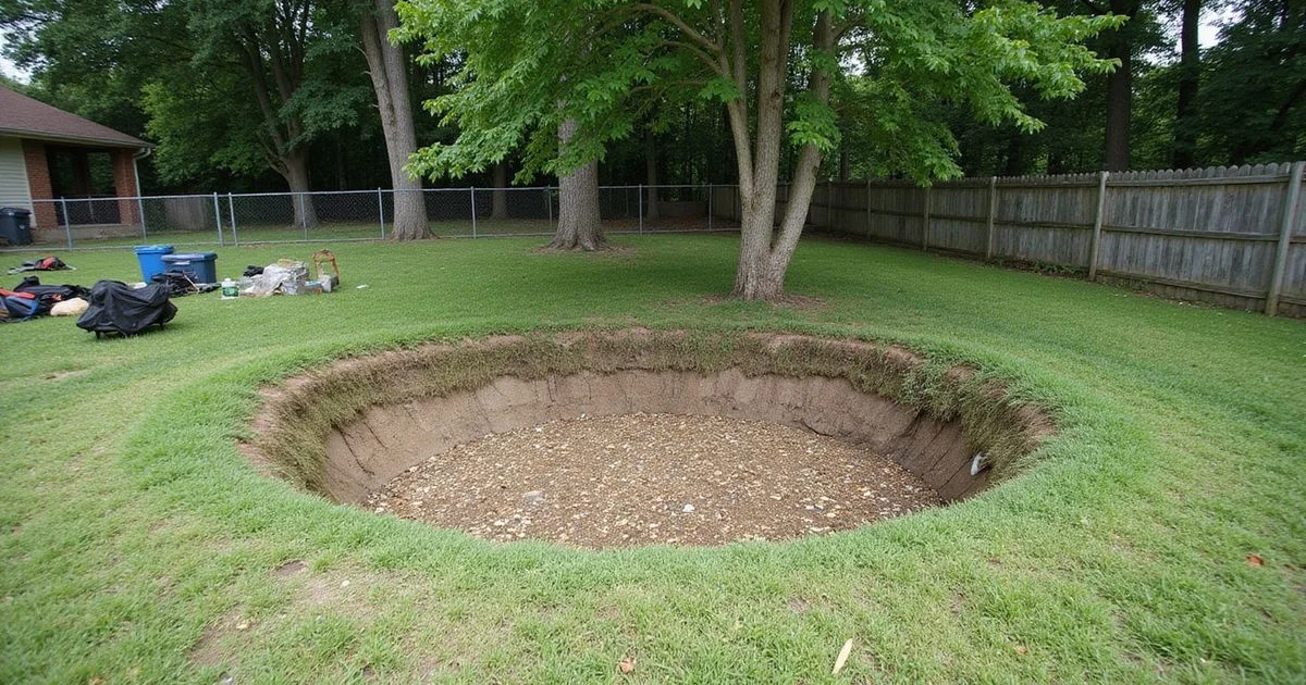
Start with what you are actually looking at
A depression in your yard is a change in ground surface. That is all it is until somebody investigates it. In Middle Tennessee, where limestone bedrock creates genuine karst terrain, the word “sinkhole” arrives quickly in the conversation — often from people with something to sell.
We are going to treat this calmly, because the alternative produces expensive decisions made on the basis of fear rather than evidence.
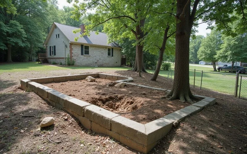
The ordinary explanations, which are common
Decayed tree roots. A tree removed years ago leaves a root system that decays over time. The ground above it settles gradually.
Settled utility trench. Backfill over a water, sewer, gas, or electrical trench consolidates. The depression frequently follows a straight line, which is a useful clue.
Buried construction debris. Stumps, lumber, and demolition material buried during construction decay and compress.
Erosion. Concentrated runoff moves soil, particularly at a downspout outlet, along a drainage path, or at the edge of hardscape.
Broken drainage or sewer line. A leaking pipe can carry fines away and create a void, and this one is worth ruling out because it is both fixable and progressive.
Ordinary settlement of fill. Graded lots settle unevenly for years after construction.
Straight-line depressions, depressions at the end of a downspout, and depressions where a tree used to be are all far more common than karst features in residential yards.
What karst actually is
Karst is terrain formed where soluble rock — here, limestone — dissolves over long periods, producing features such as underground voids, springs, and surface depressions. The USGS describes the basic mechanisms, and Middle Tennessee genuinely sits in this kind of landscape.
Dissolution can create a void beneath a soil cover. Where that soil cover eventually fails into the void, a surface depression or collapse can result. That is the mechanism behind cover-collapse features.
What matters for a homeowner is the distinction between “this landscape is karst” and “this depression is an active sinkhole”. The first is a regional statement. The second is a property-specific finding that requires investigation.
Our guide on Nashville soil, limestone, and karst covers the geology in more depth.
What a public map can and cannot tell you
Public karst datasets, including the USGS Tennessee karst mapping, are research tools. They show mapped features and classified terrain at a regional scale.
They cannot establish the condition of an individual property. A mapped depression near your address is not a diagnosis of your yard, and an unmapped area is not a guarantee of stability — it may simply mean no one has surveyed it at that resolution.
We will not build a risk score for your ZIP code, rank neighbourhoods by danger, or estimate the likelihood of anything collapsing. Those products exist, and they are not evidence.
Who investigates a specific site
If a depression warrants investigation beyond observation, the appropriate parties are a geotechnical engineer or an engineering geologist, who can specify subsurface investigation such as borings or probing, interpret the results, and advise on remediation if a feature is confirmed.
A plumbing camera inspection is also worth considering where a sewer or drain line runs nearby, because a failed line is both a common cause and a comparatively easy fix.
Sinkhole remediation is a specialist discipline and is distinct from routine foundation repair. We keep that boundary clear rather than blurring it into a general repair quote.
What to do now
Photograph the depression with something in frame for scale, and note the date. Measure its rough diameter and depth. Mark the edges with stakes or paint so you can see whether it grows.
Keep people, vehicles, and equipment off it and away from the immediate area. Look for related clues: a straight line suggesting a trench, proximity to a downspout or drain outlet, a stump or old tree location, or new cracking in nearby hardscape.
Check whether anything in the house changed at the same time — new cracks, doors binding, floor movement.
And if ground is actively subsiding, if the hole is deepening as you watch, or if a structure appears unsafe, move away from the area and seek emergency assistance immediately.
Where we fit
We evaluate what is happening at a structure. A foundation evaluation records relative floor elevations, crack conditions, and the site’s drainage and surface conditions, which establishes whether the house itself is showing movement.
If the findings point toward subsurface investigation, we will tell you that plainly and name the discipline that should handle it. That is a better outcome than a foundation quote for a question foundations cannot answer.